
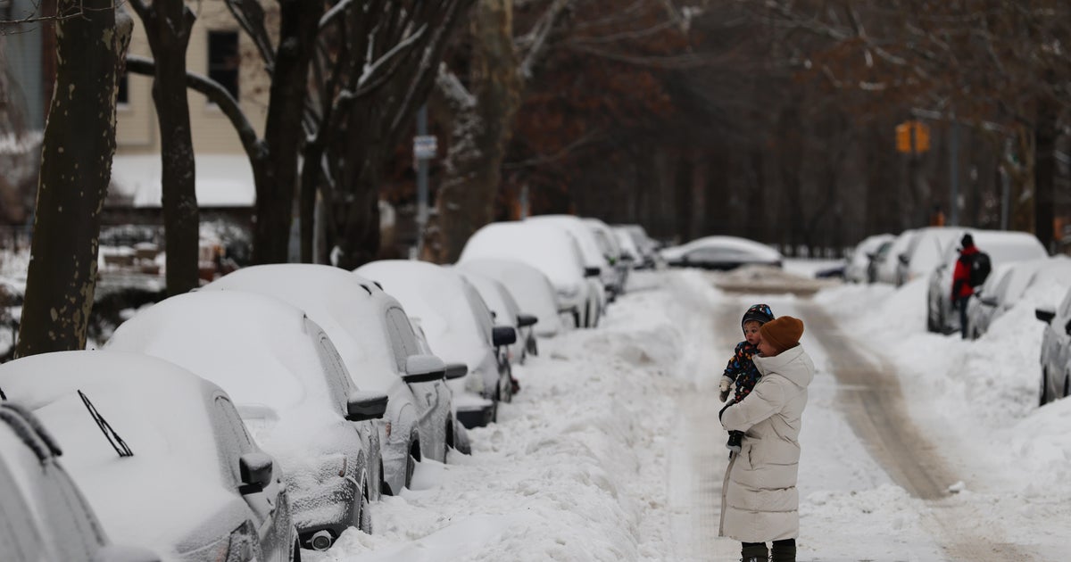
In a direct summary, a late-winter storm is set to impact millions across the East Coast, with blizzard warnings issued for New York City, New Jersey, and coastal communities as of Saturday. Over 14 million people are currently under such warnings, including New York City – the first time in nine years that the city has faced a blizzard warning. Cody Snell, a meteorologist at the Weather Prediction Center, stated that this storm could produce heavy snow and strong impacts across a densely populated region that hasn't experienced such severity in several years.
New York Mayor Zohran Mamdani has urged residents to stay indoors and avoid traveling during the storm, marking his second major snowstorm event since taking office. The previous storm resulted in 19 fatalities due to prolonged brutally cold weather. The National Weather Service (NWS) has upgraded its assessment of the storm's potential severity, with initial projections indicating less ferocity revised upward.
According to NWS, one to two feet of snow is possible in many areas, with blizzard warnings extended to New York City, Long Island, southern Connecticut, coastal communities in New Jersey and Delaware. Snowfall totals ranging from 6-18 inches are expected across the Northeast, while lower amounts are predicted for the Mid-Atlantic area.
The NWS has also issued flood warnings for parts of New York and New Jersey as the storm may bring accumulation in addition to its snowfall. The storm is expected to begin quietly on Sunday with rainfall in certain areas before worsening, as indicated by NWS maps showing weekend snow accumulation forecasts.
Heavy snowfall anticipated Sunday night across multiple regions, with snowfall rates reaching 1-2 inches per hour, and potentially exceeding 2 inches per hour in certain areas, as warned by the National Weather Service (NWS). The impending storm, accompanied by steady winds of 25 to 35 mph, poses a significant travel risk, potentially rendering roads treacherous or impassable.
The NWS has forecasted potential incidents such as downed tree limbs and power outages due to the combined effects of snow load and strong winds. Difficult travel conditions are expected across the region, as the storm approaches at a time when remnants of previous snowstorms in the area are finally thawing.
Notably, Punxsutawney Phil, the groundhog famously known for his weather predictions, observed his shadow earlier this month, signifying his belief that winter will persist for an additional six weeks.
In response to the approaching storm, officials in Atlantic City, New Jersey, have advised residents and visitors to avoid streets, particularly those in low-lying areas prone to flooding. Scott Evans, the city's fire chief and emergency management coordinator, cautioned that numerous streets are at risk of flooding due to the snow accumulation, making it difficult to identify the affected areas until it is too late. Therefore, he urged everyone to stay indoors for their safety.
The NWS has issued a blizzard warning for parts of southern New England—a rare occurrence in the past four years. CBS Boston reports that the storm is expected to impact Boston and surrounding regions from Sunday night through Monday afternoon.
Source: Read Original Article